A Spectacular Bear
Inca Trail, Peru - Day 18
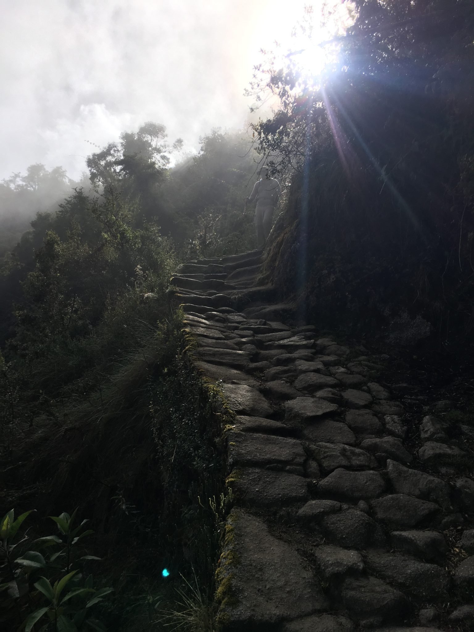
I slipped out of the tent just before sunrise, letting Katie sleep a little longer. You could say she is not in love with mornings. As I was working on getting my bearings, I noticed that a couple of our porters were pointing up to the actual summit of third pass. I followed their instructions and found Rosalio at the top. He has hiked this trail over two hundred times, but he was very excited to share this view. Especially considering we were only his third group to make it to this campsite on the second evening. As we watched the sun rise over the mountains, we talked about dreams. Rosalio said he would often dream about walking through Inca ruins or on the trail, but last night he dreamed of aliens. (Spoiler: we encountered no aliens). Because we hiked an hour and a half longer yesterday, today's hike was only around four and a half hours long. Additionally, we enjoyed the fact that the trail was all downhill from here. Fun fact: We all think of Machu Picchu as an Inca city atop of a mountain, in the clouds, but the reality is that the elevation of Machu Picchu is 7,873 feet. Every other Inca ruin that we have seen so far has been higher elevation. Our highest point on the trail was Deadwoman's Pass, which has an elevation of 13,779 feet.
On our way to the ruins, I had a small run in with a snake. Rosalio said that it had lunged at me, but got caught up in my walking pole. As soon as I realized it was there, I promptly flung it away. I supposedly used some luck there as the snake was apparently poisonous. I couldn't be bothered, because we were on our way to some of the more interesting ruins of the hike. Katie and I explored Phuyupatamarka and Intipata, but it wasn't until Wiñaywayna that we sat down and listened as Rosalio told us more about the Inca people.
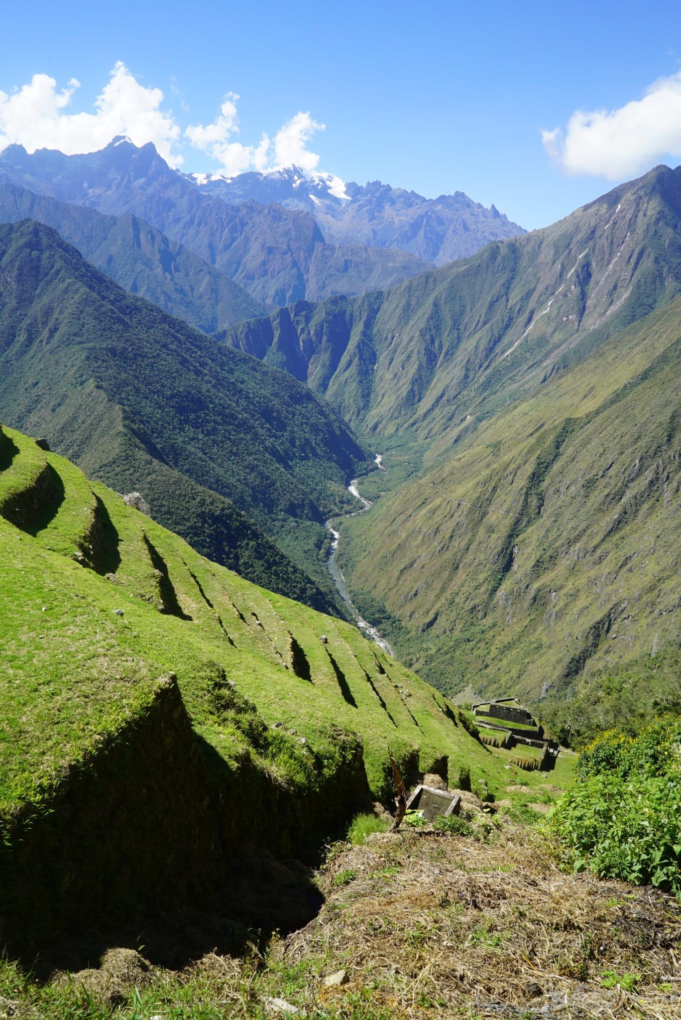
Before building a settlement, the Inca would survey the land to ensure it was stable. After ensuring it was a good site to build on they would dig away all the dirt, leaving the rock formations of the mountain bare. Starting at the lowest elevation of the site, the Inca would then start building the foundations of the settlement in the form of terraces. These served two purposes 1) retaining walls and foundation of the settlement, and 2) farm lands where the Inca would acclimate and grow crops from around the region. As we listened, a Spectacled Bear walked out on one of the lower terraces. Rosalio enthusiastically pointed out the bear as it was a rare sight. We sat and watched the bear, about the same size as a brown bear, climb around the ruins. I originally misheard Rosalio say 'Spectacled Bear' and thought he said 'Spectacular Bear'. That explained why my jokes of, "that is one spectacular bear!" kept missing their target.
After the bear wandered off, Katie and I were free to walk around Wiñaywayna (which means "forever young" because the site remains in near perfect condition) and saw that it's water canals and fountains were still fully functioning. We spent a good deal of time exploring before we finished our short hike to the campsite and enjoyed a relaxing afternoon. That evening our chef served another round of delicious food, but surprised me with a birthday cake!
One more fun fact from today.. Rosalio told us about a competition from several years ago that he participated in. They wanted to see how quickly the Inca Trail could be done since long ago messengers had run the trail to pass along information between the different Inca cities. They invited some of the top athletes in the world and many Peruvians to compete. So the trail that was taking us FOUR DAYS to complete and kicking our butts at that pace took Rosalio THREE HOURS AND FIFTY MINUTES. Literally from our starting point to Machu Picchu in under four hours. He missed first place by five minutes, which was taken by a porter! The competition was only held once due to the many resulting broken bones.
Inca Trail Day Two Itinerary:
6:30 AM – Wake Up
7:00 AM – Breakfast
7:30 AM – Hit the Trail
12:00 PM – Lunch/Reach Campsite
6:00 PM – Dinner
Hike Info:
3.5 Miles
4.5 Hours
3281 Feet Elevation Change (Down)
Major Ruins Seen:
Phuyupatamarka
Intipata
Wiñaywayna


